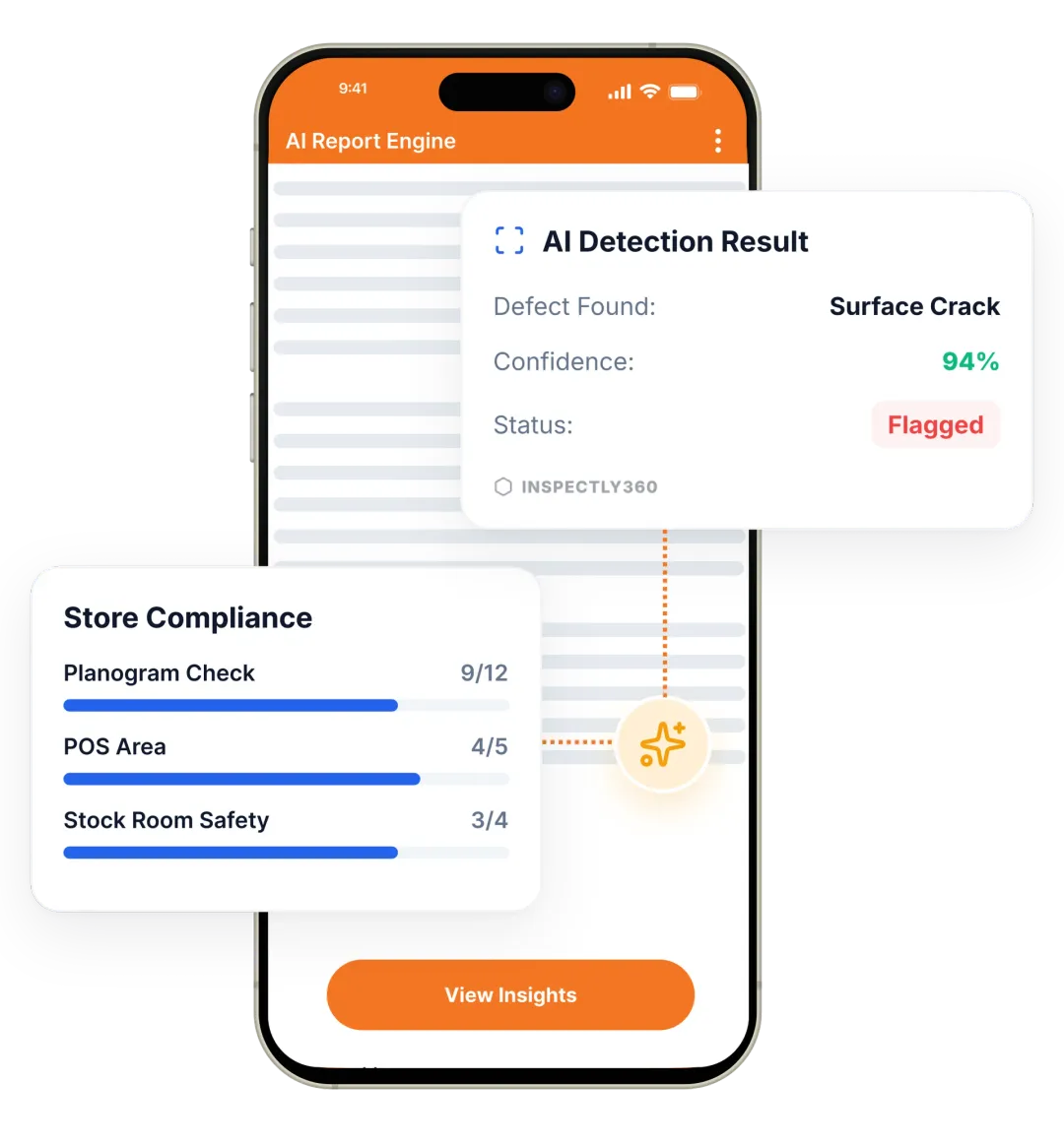
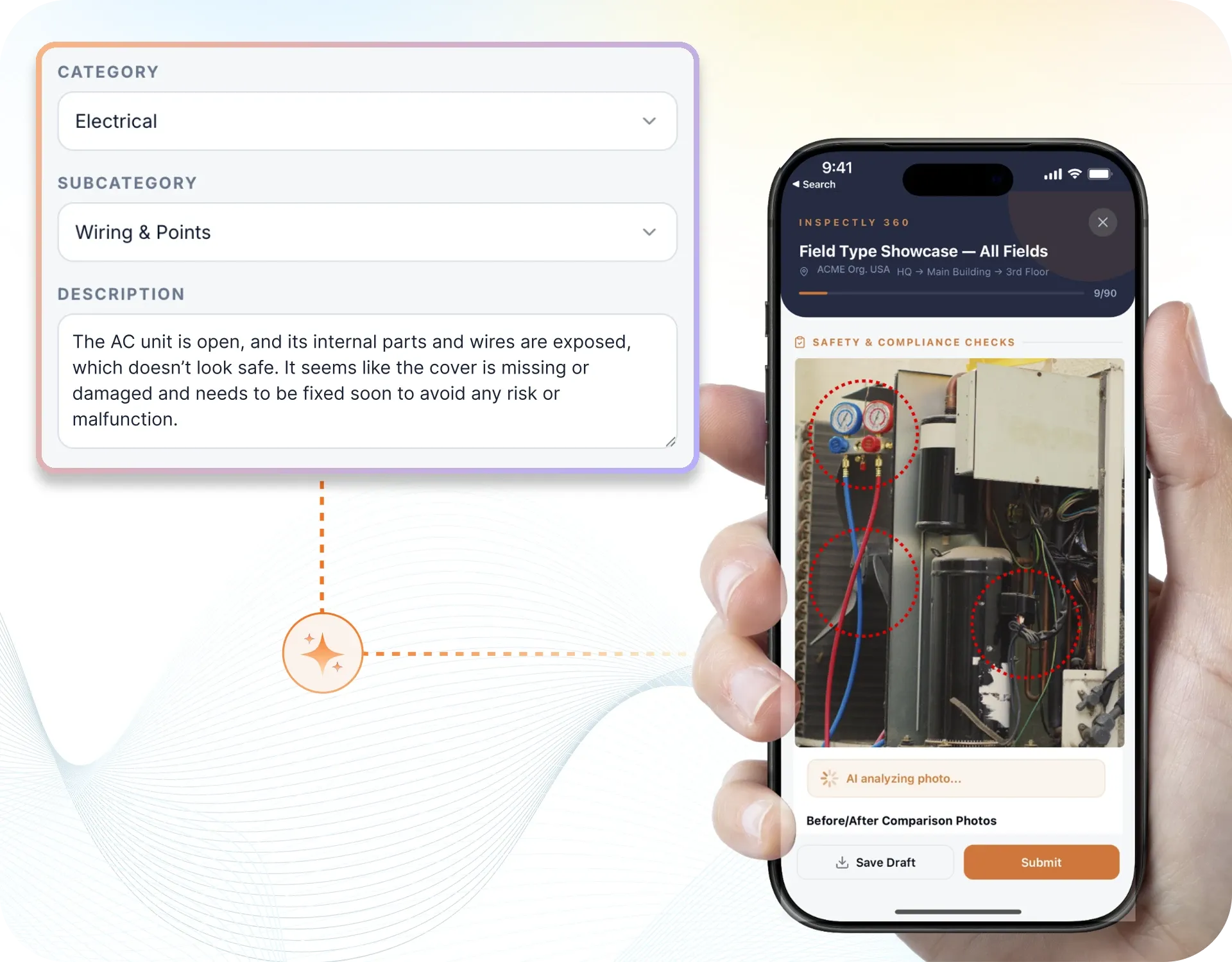
Take a Photo. AI Fills the Form
Your inspector takes a photo of any asset or defect. AI reads it and fills the inspection form automatically. No typing. No manual entry.

Convert your checklist into Mobile App
Geotechnical Assessment App runs structured geotechnical assessment inspections across every site. Inspectors complete forms on a phone or tablet, capture photo and voice evidence on each geotechnical assessment, and raise corrective actions the moment something fails. Managers see compliance status, open issues, and performance across every site in real time.
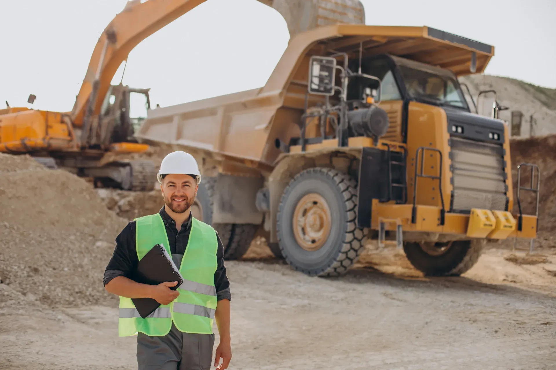
Geotechnical Assessment App delivers structured geotechnical checks, corrective actions, and clear reporting, which removes inconsistent geotechnical records and slow paper-based paperwork. Align reporting to the applicable industry standards and internal procedures, with dashboards that turn field data into accountable action.
Geotechnical Assessment App keeps one record per geotechnical assessment and per site, with photo evidence and a named sign-off. Each geotechnical assessment finding is tracked to verified closure. Geotechnical and mine planning teams see geotechnical assessment completion and overdue actions across the mining portfolio. Every geotechnical assessment record proves what was checked, when, and by whom.
A comprehensive inspection for mining covers the key areas that affect operations and compliance. Run geotechnical assessments with structure logging, instrumentation readings, and follow-up action tracking. Your inspection should include sections for evidence capture, pass/fail or scoring criteria, corrective action assignment, and sign-off so that nothing is missed and every finding is traceable.
A consistent routine keeps geotechnical assessment inspections reliable across every site. Follow these steps to run an effective inspection:
Geotechnical Assessment App covers Field Inspection, Digital Inspection Forms, Inspection Scheduling, Defect Reporting, and more, with photo evidence, readings, corrective actions, and audit-ready records.
Templates align to geotechnical standards, mine and quarry safety rules.

Build the geotechnical assessment template with objective pass-fail criteria and schedule it to mobile teams.

Inspectors run the inspection, AI checks photos for cracks, corrosion, leaks, faulty fixtures, and failed items raise corrective actions.

Dashboards built on verified data reveal recurring patterns across every site.
Everything your field team does on paper, Inspectly360 does automatically: faster, more accurate, and without the admin.
Your inspector takes a photo of any asset or defect. AI reads it and fills the inspection form automatically. No typing. No manual entry.
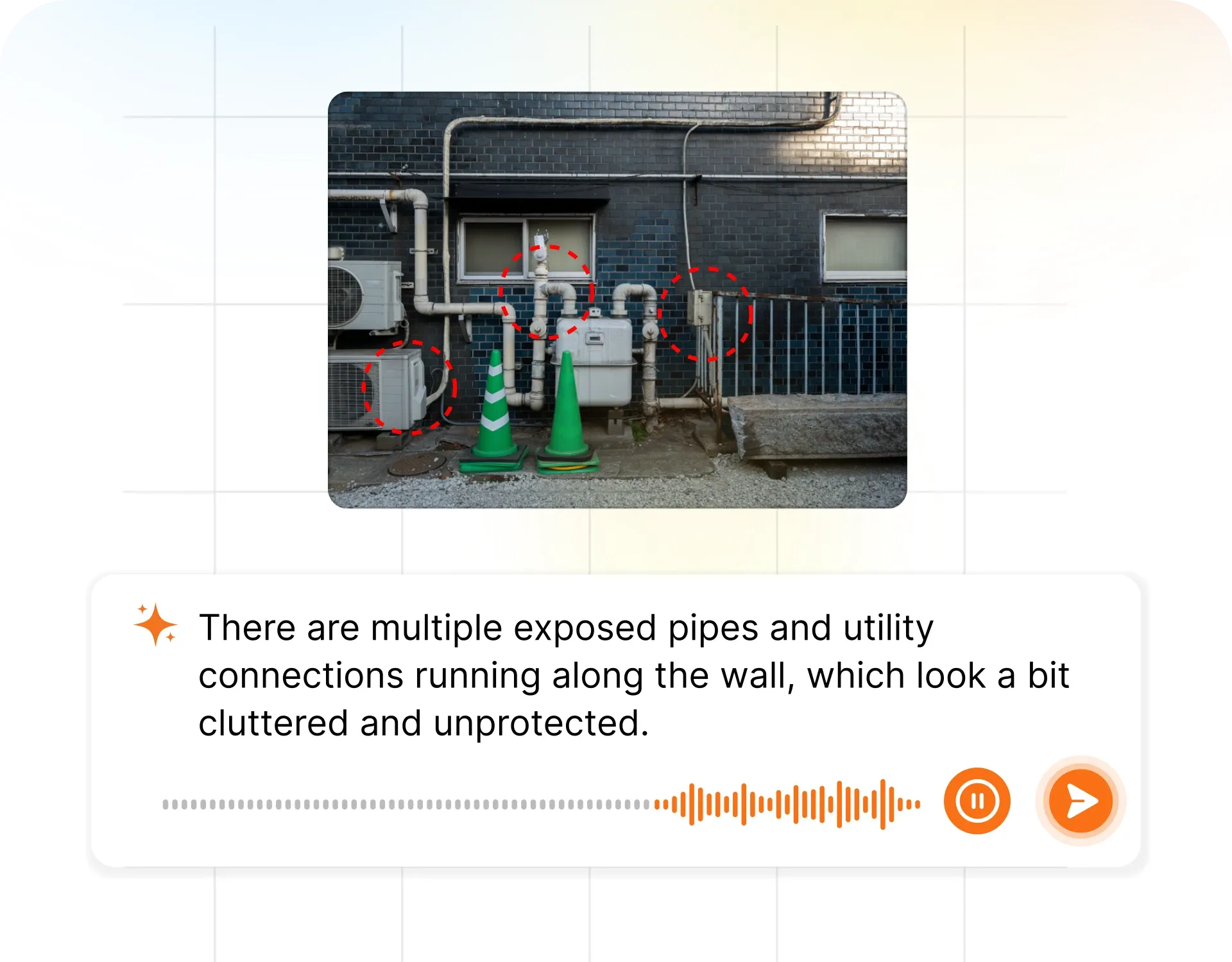
Inspectors speak their observations in any language. AI transcribes and fills the form in real time. Completely hands-free in the field.
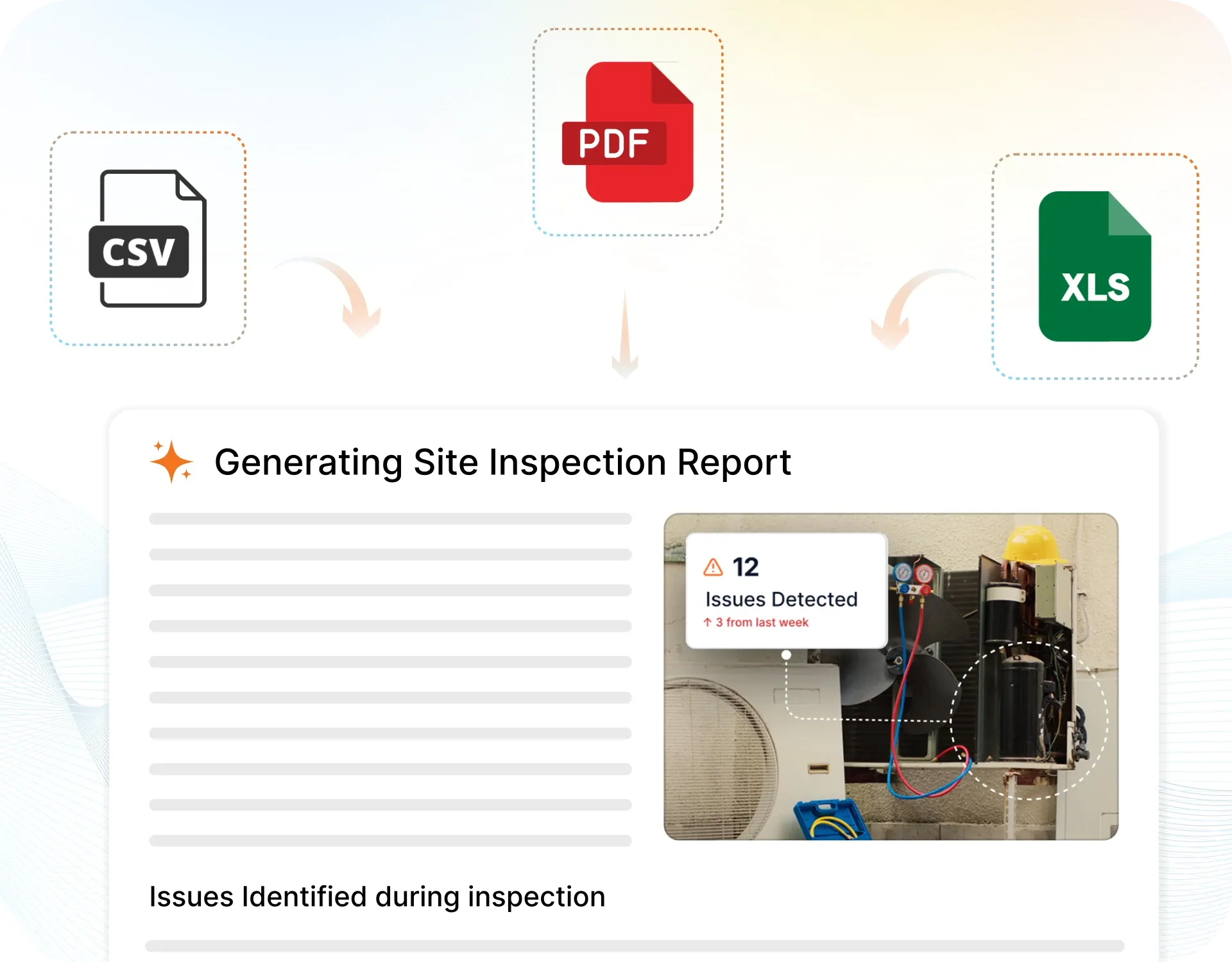
The moment an inspection is submitted, a branded PDF, Excel, or CSV report generates automatically. No manual work. No waiting.
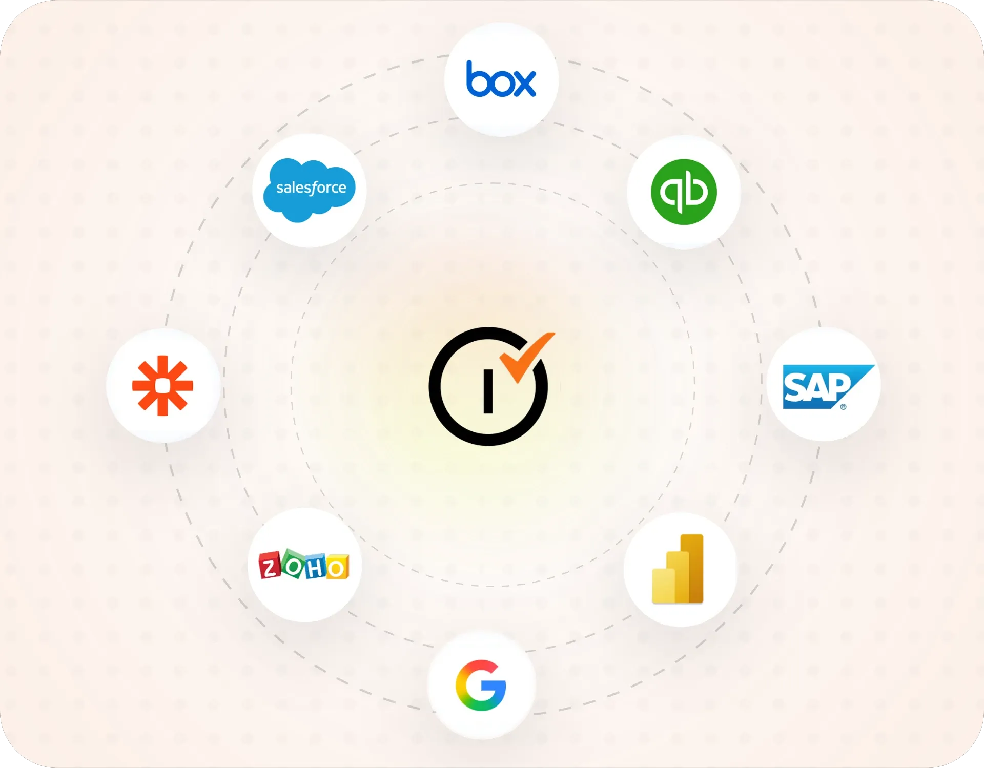
Inspectly360 integrates with the tools your team already uses, including Zoho, Microsoft 365, and SAP. No double entry.
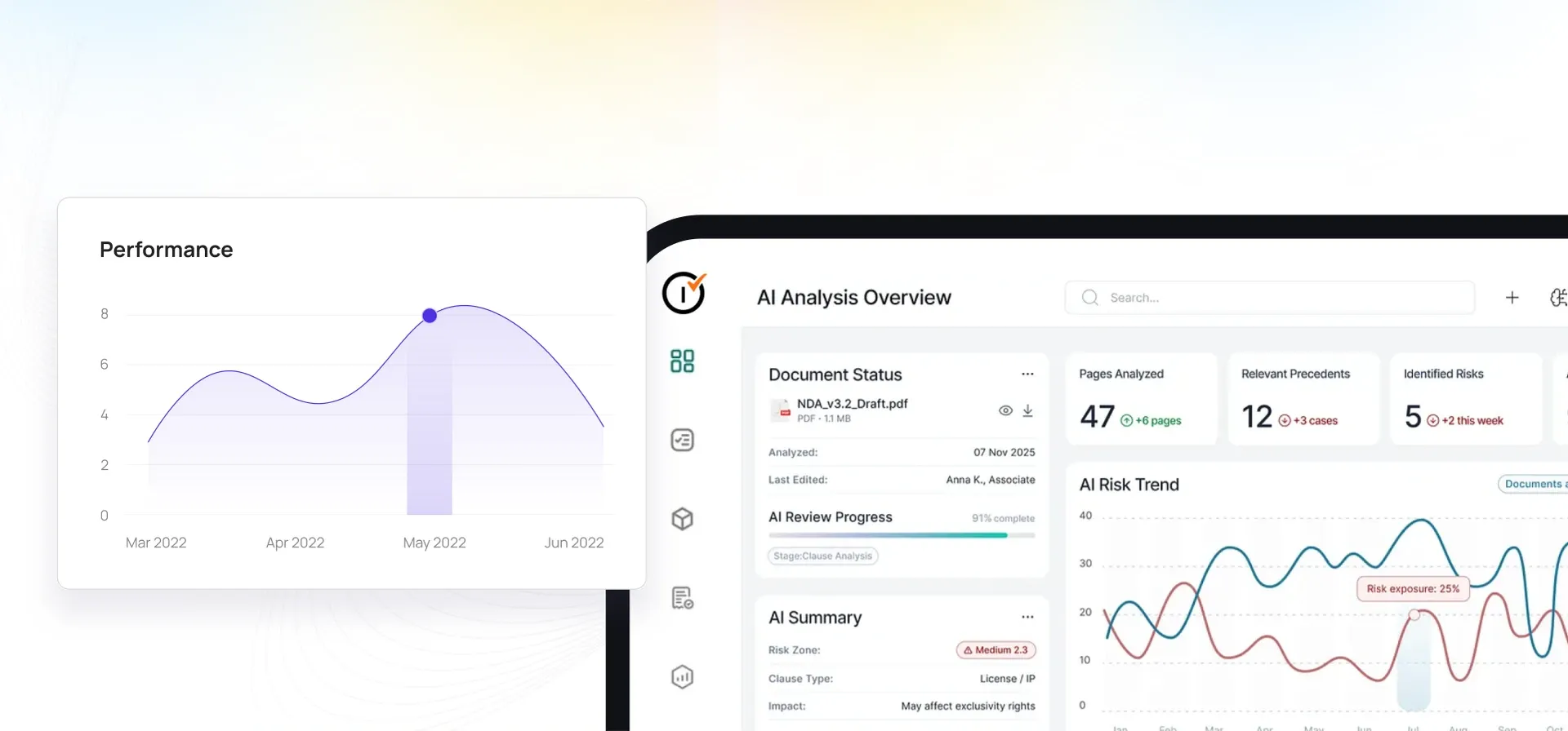
Your operations team sees completion rates, open issues, and compliance scores across all sites in real time. No chasing updates.
From data collection to compliance: see how teams use Inspectly360 for every use case.
Capture field data once with digital forms that work even offline.
Explore use caseRun standardized inspections with photos, scoring, and instant reports.
Explore use caseConduct structured audits with evidence trails and pass or fail scoring.
Explore use caseLog hazards, near misses, and safety checks from any job site.
Explore use caseCatch defects early with repeatable quality checks and sign off.
Explore use caseReport incidents in the moment with photos and follow up actions.
Explore use caseTrack assets, service history, and condition across every location.
Explore use caseRaise work orders and close out repairs with a full audit trail.
Explore use caseStay audit ready with logged checks, timestamps, and shareable reports.
Explore use caseUse it as a digital workflow so your team captures consistent evidence, stays aligned in the field, and produces reports stakeholders can trust without retyping answers from paper.

A failed item is noted during a routine inspection. Nobody owns it, no date is set, and the next inspection finds the same problem on the same geotechnical assessment. The geotechnical assessment issue is logged, not closed.
Problem
Solution

Some geotechnical assessment records sit in Excel, some in a WhatsApp group, some in a folder of photos. There is no single source of truth, so every question takes an hour and three people to answer.
Problem
Solution

A geotechnical assessment inspection is ticked off on a paper form. Weeks later someone asks whether the geotechnical assessment was actually checked, and whether cracks, corrosion, leaks, faulty fixtures were looked at. Nobody can say for certain the geotechnical assessment passed.
Problem
Solution
Geotechnical Assessment App covers Field Inspection, Digital Inspection Forms, Inspection Scheduling, Defect Reporting. Geotechnical Assessment App delivers structured geotechnical checks, corrective actions, and clear reporting, which removes inconsistent geotechnical records and slow paper-based paperwork. Align reporting to the applicable industry standards and internal procedures, with dashboards that turn field data into accountable action. Each item is checked against its acceptance criteria, with photos, readings, and the inspector sign-off captured on the spot. A failed check raises a corrective action with an owner and due date, and the completed record is retained and exportable for audit against the applicable standards.
When a check fails, Geotechnical Assessment App logs it against Field Inspection or the relevant item, assigns a corrective action with an owner and due date, and tracks it to closure. Supervisors see open issues, overdue actions, and completion rates across the whole portfolio on one dashboard, so problems are fixed and evidenced instead of being lost between visits.
Yes. Teams complete inspections on a phone or tablet with no signal, and records sync automatically once back online. Every inspection holds the items checked, the readings, the photos, and the sign-off, giving Geotechnical Assessment App a defensible record against the applicable standards for regulators, clients, and incident investigations, without chasing paper across sites.
Geotechnical Assessment App keeps geotechnical assessment checks aligned to geotechnical standards, and mine and quarry safety rules. The photos and readings each geotechnical assessment standard expects are required fields. So an incomplete geotechnical assessment check cannot close. A geotechnical assessment gap is caught before an assessor finds it. When a review is due, geotechnical and mine planning teams export a branded geotechnical assessment pack built from slope condition photo, monitoring reading note, and support and mesh photo. So geotechnical assessment evidence stays defensible at any time.
Yes. Inspectors complete geotechnical assessment checks on iOS or Android with no signal. They capture slope condition photo, monitoring reading note, and support and mesh photo at the geotechnical assessment in the field. Each geotechnical assessment record syncs when the connection returns, with its timestamp intact. The same geotechnical assessment template runs on every site. So geotechnical and mine planning teams get a live view of geotechnical assessment work that is complete, overdue, or failing per location. The app runs on iOS and Android and works the same way for every inspector on the team.
Every geotechnical assessment inspection carries slope condition photo, monitoring reading note, and support and mesh photo, a GPS location, a timestamp, and a named sign-off. The geotechnical assessment evidence is captured on the round, not typed up later. So geotechnical and mine planning teams show exactly what was checked on the geotechnical assessment, when, and by whom. When an assessor asks, that geotechnical assessment record exports in seconds. It comes out as a branded PDF or a searchable geotechnical assessment history.
Geotechnical Assessment App works alongside your existing geotechnical assessment systems. Geotechnical assessment findings and readings flow into a CMMS, ERP, or asset register through the API. So those systems hold verified geotechnical assessment field data, not re-keyed notes. Geotechnical Assessment App owns offline geotechnical assessment capture, photo evidence, and a fast geotechnical assessment pack from slope condition photo, monitoring reading note, and support and mesh photo. Teams add the geotechnical assessment inspection layer where the evidence is captured. The app runs on iOS and Android and works the same way for every inspector on the team.
Explore other inspection and audit apps for mining teams.
See Inspectly360 in action with a live demo tailored to your needs. No credit card required.

